Hiking
Hiking around Lake Thun means enjoying magnificent views of the lake and the Bernese Alps, rediscovering nature and the joy of life.
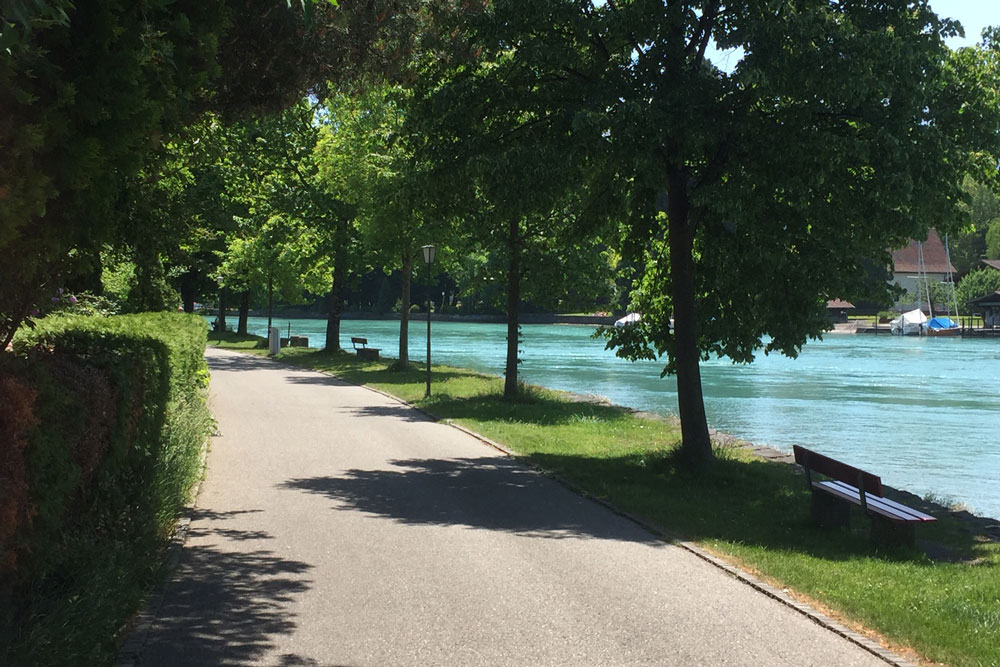
Shore path Hünibach-Thun
Along the lake basin into the enchanting old town of Thun. A scenic, easy hike, directly along the water to Thun. Paved path. A visit to the beautiful old town of Thun is worthwhile! Hiking time approx. 30 minutes.
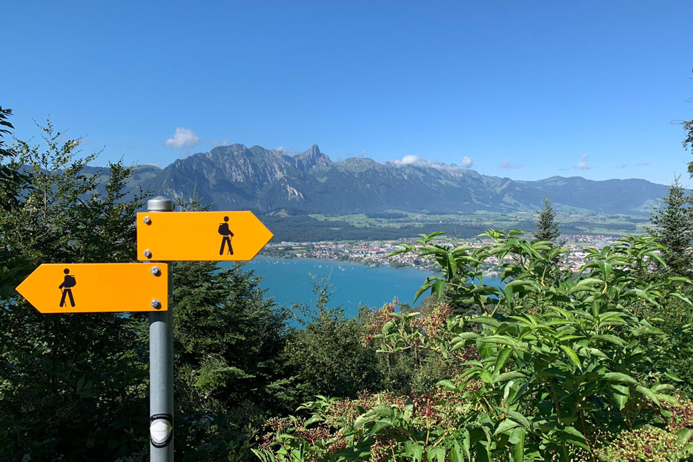
Hilterfingen-Heiligenschwendi
An ascent for heartier walkers. Walk uphill from Hilterfingen Post via Burech-Halten-Trachtwege-Haltenegg to Heiligenschwendi Alpenblick. The difference in altitude is 500 m. Hiking time 2 hours. Hiking map available at the Hilterfingen Tourist Office. Return via Obere Allmit-Tannenbühl or by bus.

Cultural-historical circular path Oberhofen
A cultural-historical tour through Oberhofen. Discover Oberhofen and learn about its history. Stimulating hike along the most important sights in Oberhofen. Brochure available at the tourist office in Hilterfingen.
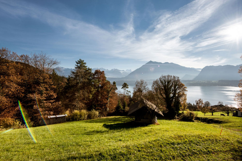
Hike Hünibach-Oberhofen
Above the lake to Oberhofen. From the Hünibach boat station or from the Chartreuse / Hünibach bus station – walk inland to the Hünibach bridge. From there continue via Schlüsselacker-Burech-Tannenbüehl down to Oberhofen/Klösterli. Around the vineyard down to Oberhofen/Längenschachen. You can return either by boat or bus. Hiking map available at the Hilterfingen Tourist Office.
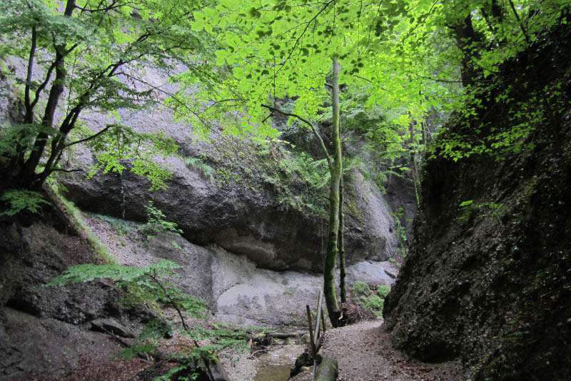
Through the Cholere
A wonderful hike through the picturesque Choleren gorge. The trail offers views into the gorge and of several waterfalls. From the landing dock – or bus station Hünibach, walk uphill. After crossing the stream, the path leads left up the Cholerenschlucht (gorge) to the Goldiwilstrasse, which is about 100 m to the east. Then, continuing uphill, you reach Hintermatt via Eichguet-Goldiwil-Melli. Now downhill via Aebnit-Schwendi, further via Oberi Halte-Ufem Stutz-Trachtwege-Eichholzweid-Rain down to Hünibach. Shortcut: At the junction Heiligenschwendi / Goldiwil, turn left and follow the main road to the bus stop “Scheidweg”. Follow the hiking trail to the left in the direction of Hünibach. Difference in altitude 500 m. Hiking time 4 hours. Hiking map available at the Hilterfingen Tourist Office.
Heiligenschwendi-Blueme
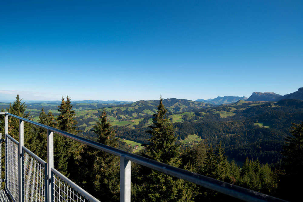
Start at the Heiligenschwendi Post. The ascent leads via the nature trail in the forest to the Wolfsgrube. Through a larch forest climb up to the Blueme. There are various trails. From the 16-metre-high observation tower you can enjoy an indescribable panoramic view as far as the Jura and the Bernese Alps. The descent leads via Tschingelallmi, Schwändi-Allmit and the REHA-Klinik back to the post office. Difference in altitude 300 m. Hiking time 2 hours.
Beach path Thun-Gwatt
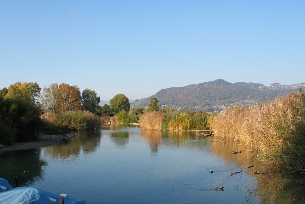
The Thuner Strandweg is not only a recreation area for walkers, families, and water lovers; it is also where man meets nature. Here you will find a variety of birds, insects, trees, and flowers. Start at the Schiffländte Thun and walk along the new shore path towards the Scherzligen church. The next stop is Schadau Castle, situated in a beautiful park directly on the lake. Continue along the lake, past the shipyard, beach, boat harbor and campground through the Bonstettenpark, with its old and rare trees, on to the Deltapark. Hiking time approx. 1,5 hrs.
Shore path Spiez
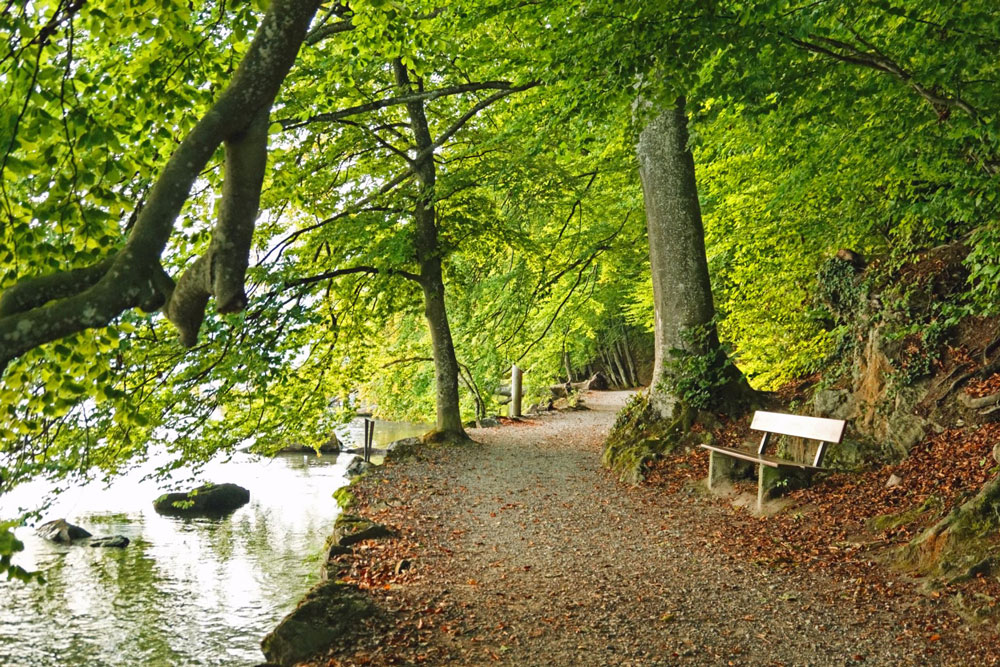
An easy beach path leads under high trees along the lake. On the way, there are many charming places to enjoy the water and sun. The road is wheelchair accessible. Hiking time approx. 30 min. Variation: By boat from Hilterfingen to Faulensee – hike to Spiez – back by boat to Hilterfingen.
Panorama Circular Thunersee Trail
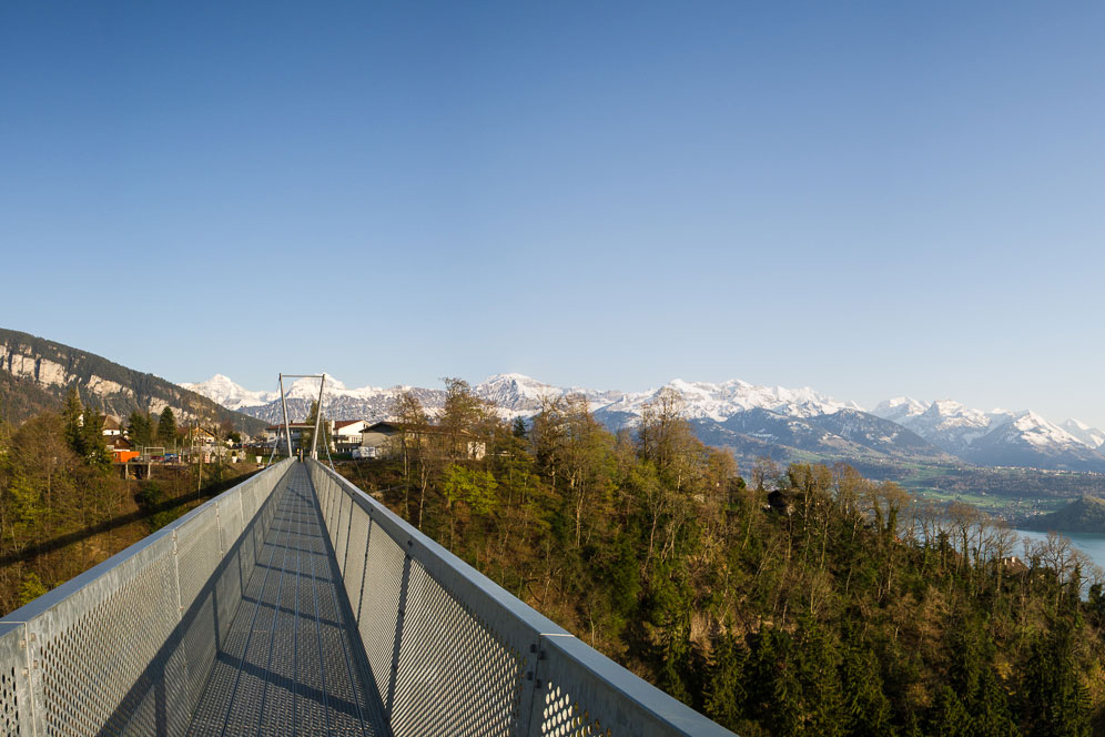
The Panorama Circular Thunersee Trail is an exciting, enjoyable, multi-day hike through the Bernese Oberland with views of the majestic lake and mountain panorama, past historic sites and impressive caves.
Cultural-historical circular trail Hilterfingen
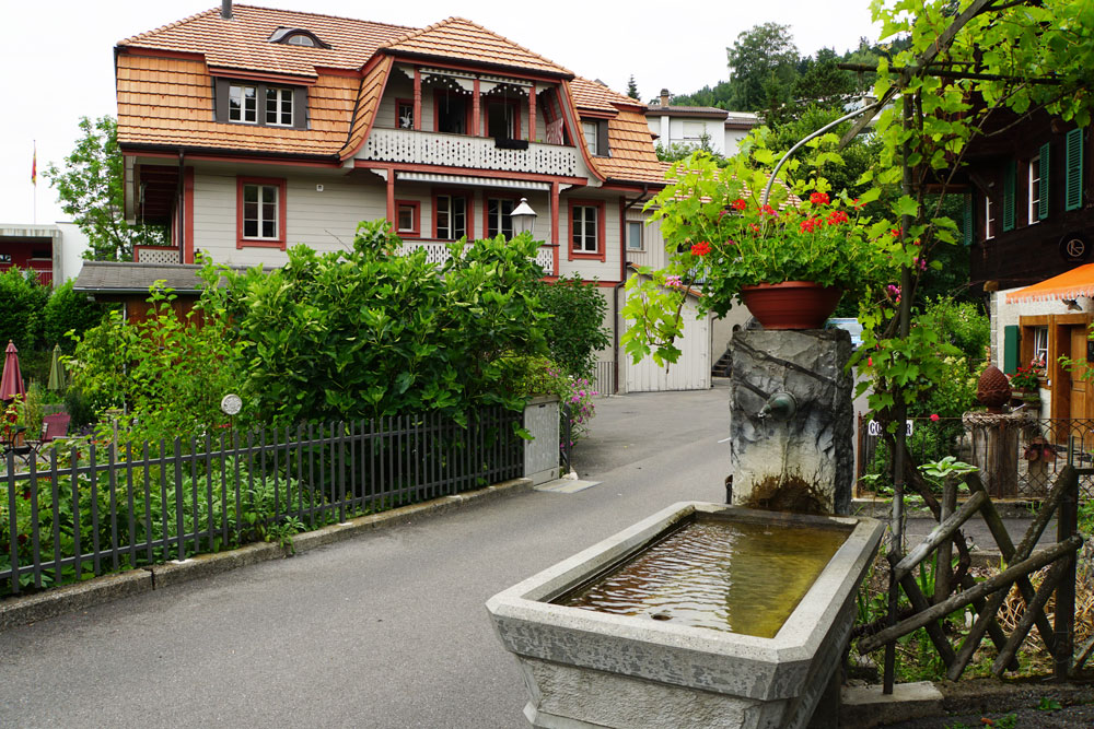
On the way you will learn about the history and culture of the community of Hilterfingen. Brochure available at the tourist office Hilterfingen.
